
Our Services
Survey solutions built for planning, design, and execution.
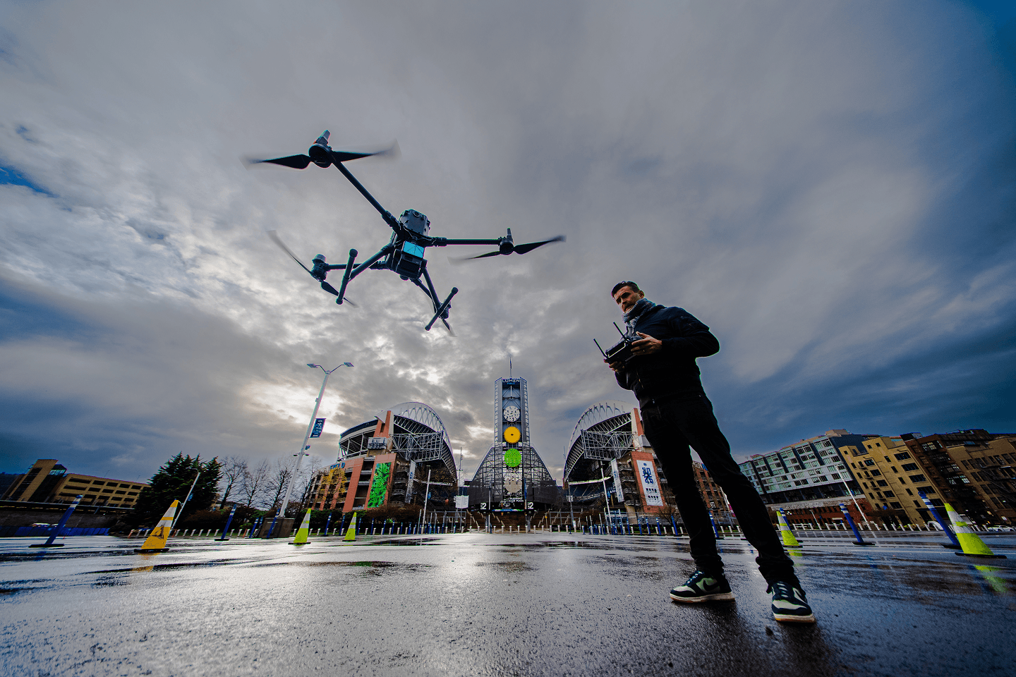
LiDAR & Surface Scanning
Our LiDAR (Light Detection and Ranging) surveying services provide high-resolution spatial data for projects that demand precision and efficiency. Using advanced drone-mounted LiDAR technology, we capture millions of data points to create detailed 3D models, terrain maps, contour lines, and digital elevation data, even in densely vegetated or difficult-to-access area.
Terrestrial Laser Scanning
High-density laser scanning that captures accurate measurements of existing conditions, creating detailed digital representations of structures, facilities, and project sites.
Topographical Data
Accurate terrain and surface information used to support planning, design, drainage analysis, earthwork calculations, and site development.
Point Cloud Data
Comprehensive point cloud datasets that provide detailed digital representations of existing conditions, ready for modeling, analysis, coordination, and project documentation.
Aerial Photogrammetry
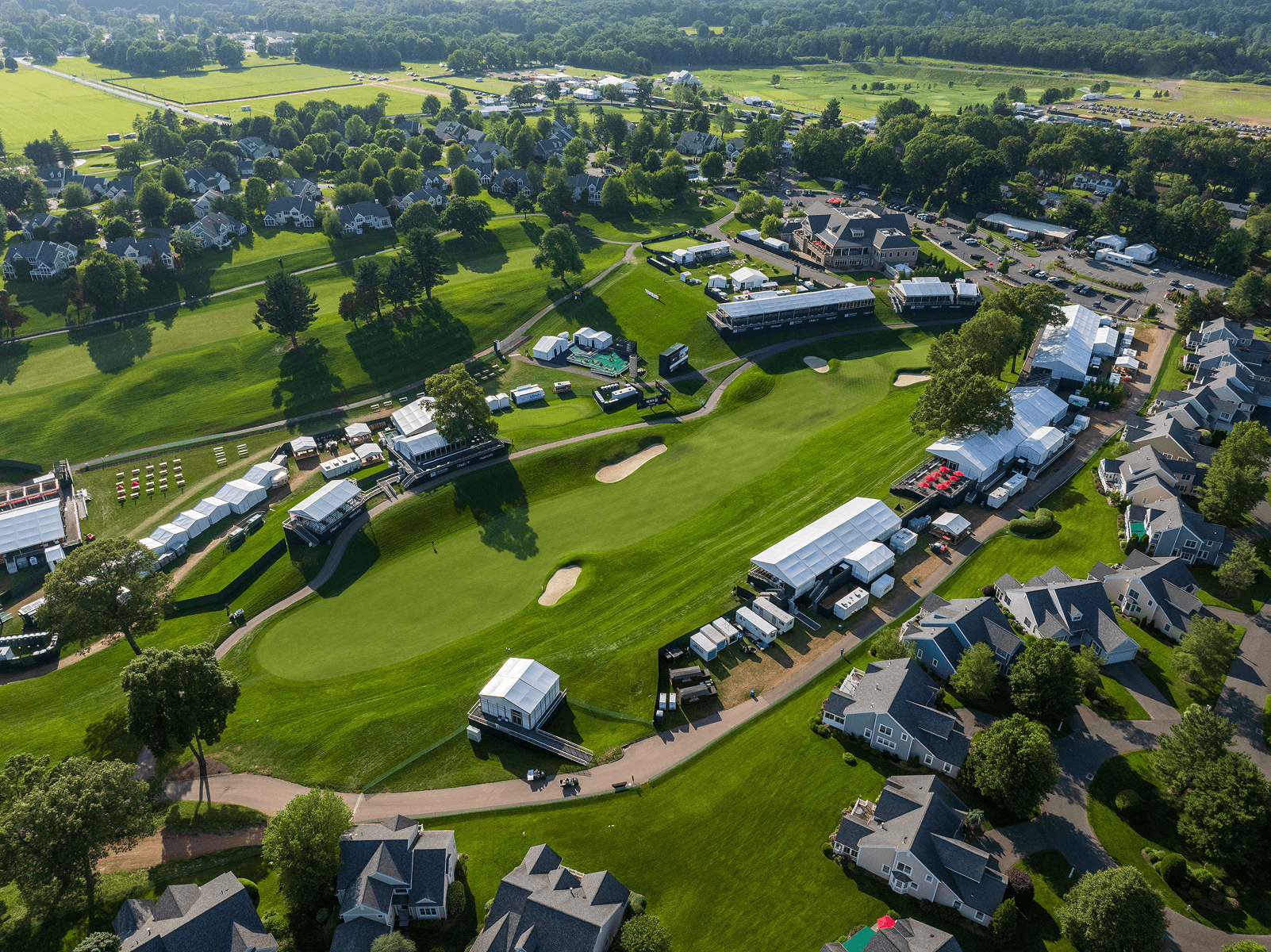
Cost-effective scanning and surveying solutions using high-resolution drone imagery. By capturing overlapping aerial photographs, which provide geo-referenced data that can be used in a wide range of applications.
Orthomosaic Imagery
High-resolution aerial imagery stitched into a single, accurate map that provides a detailed view of site conditions for planning, documentation, and project coordination.
Geo-Referenced Imagery
Spatially accurate imagery tied to real-world coordinates, allowing teams to reference, measure, and analyze site conditions with confidence.
High-Quality Imagery
Professional aerial imagery captured with exceptional clarity to support project documentation, stakeholder communication, marketing, and progress reporting.
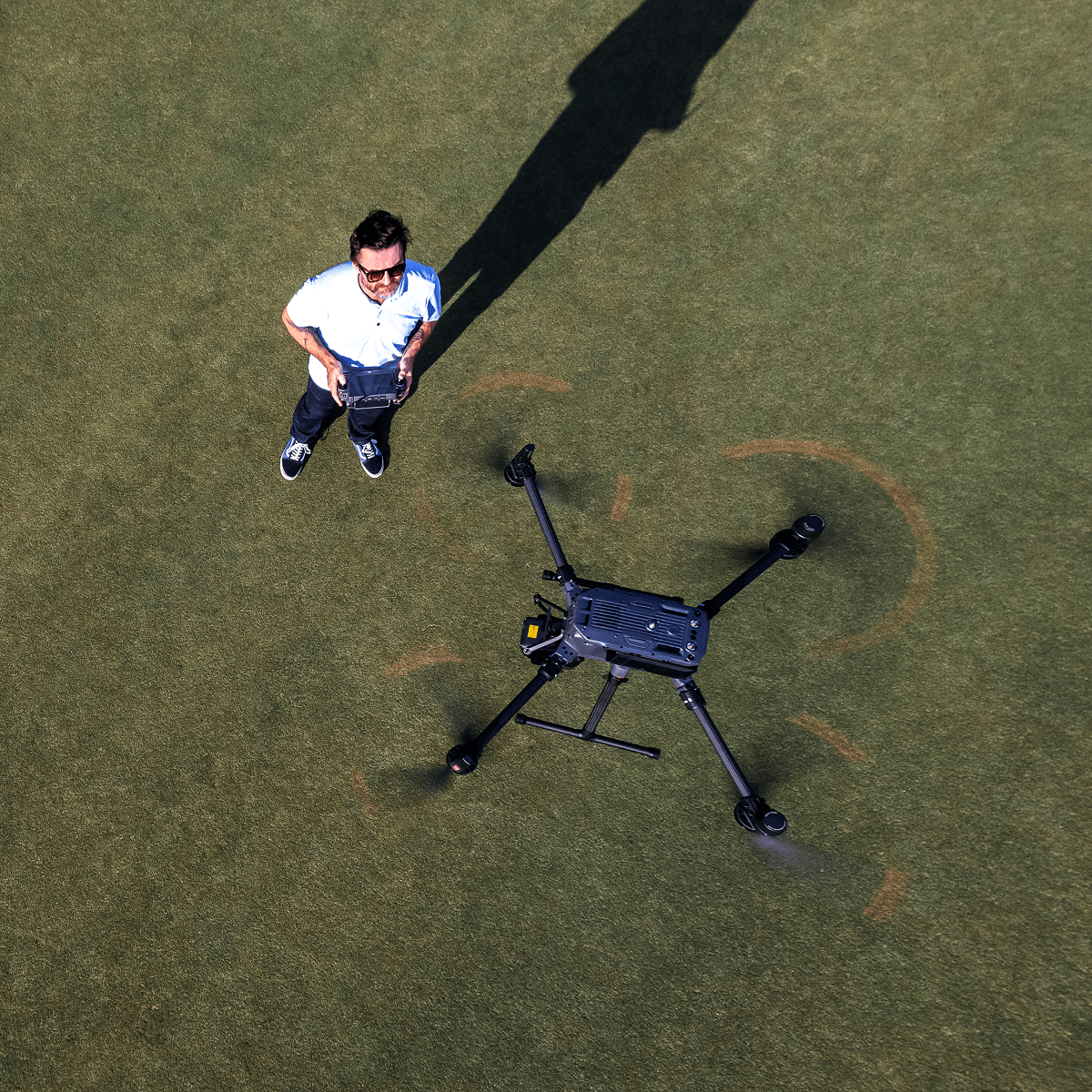
Site Intelligence & Set Out
Providing precise field staking and layout solutions to ensure your project is built exactly as designed. Using advanced surveying equipment and geospatial data, we accurately transfer engineering and construction plans from digital drawings to physical locations on the ground.
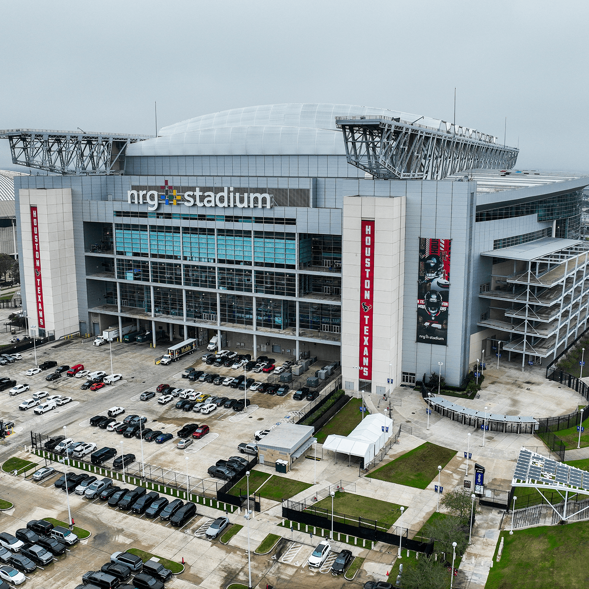
Site condition documentation
Photos of existing property conditions before construction or renovation.
Construction progress documentation
Periodic image records showing project progress.
Asset and infrastructure surveys
Visual documentation of roads, bridges, utilities, and facilities.
Explore Our Projects
Reach out and let's discuss what you're building.